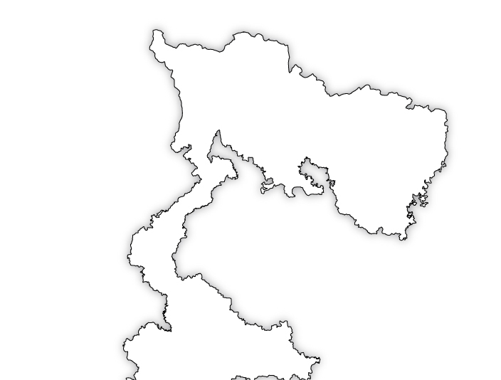
SJDA Covered Area
About Us > SJDA Covered Area
Siliguri
Siliguri is situated in the foothills of Himalayas on the banks of the river Mahananda. Siliguri is bound by Kurseong on the north, Bangladesh on the south, Jalpaiguri on the east and Nepal on the west. Potential and process of urban growth and development in Siliguri received recognition in 1931 when it became a non-municipal town, which was followed by its declaration as a Municipal Town in 1950. Siliguri Municipality had an area of 15.54 sq. km, which was substantially increased in 1994 to 41.90 sq. km when it was upgraded to Siliguri Municipal Corporation. This is an indicator of the rapid pace of urbanisation in Siliguri Urban Area (SUA), which comprises Siliguri Municipal Corporation and the adjacent urban growth centres. Siliguri Urban Area has an area of 117.54 sq. km out of which 68.90 sq. km falls under Jalpaiguri district and 48.64 sq. km falls under Darjeeling district. Siliguri has shown consistently high rate of population growth throughout its 63 years of existence. A population of less than 5,000 in 1931 had multiplied manifold to 32,480 in 1951. In 1991, Siliguri Municipal Corporation area had a population of 3,70,421 whilst the population of the Siliguri Urban Area was 4,30,464. Advantageous location of Siliguri made it an ideal Centre of trade, commerce and transit tourist traffic. As Siliguri lies on the traditional trade route to Sikkim, Nepal, Bhutan and Tibet, even in its initial period of growth, it attracted people from its vast hinterlands stretching as far as Bihar, eastern fringes of Uttar Pradesh and Assam. As a result Siliguri has acquired a cosmopolitan character. Partition of India accentuated its importance as it placed it in a narrow corridor linking North-East to the rest of the country. Expansion of urban infrastructural facilities failed to keep pace with the rapid increase in the population growth in the central business district. The population density in the erstwhile Siliguri Municipality area was as high as 14,624 persons per sq. km in 1991.
Jalpaiguri
Jalpaiguri is situated on the western bank of the river Teesta at 26° 32' N latitude and 88° 43' E longitude. It is the administrative headquarters of Jalpaiguri Division and Jalpaiguri district. The river Karala divides the town in two halves.
The town is accessible by Highways and Railways. The Siliguri-Jalpaiguri State Highway (SH-12) provides direct access to Jalpaiguri from NH-31. This alignment provides the town a corridor to North-Eastern India, Bhutan and connection to other National Highways. The strategically important Haldibari State Highway passes through the township in a North-South alignment and provides connection to international (Bangladesh) border about 20 Km from the town. It is connected to the State Capital, National Capital and Northeastern India by the broad-gauge railway line. A branch railway line to Haldibari is an additional communication channel.
Jalpaiguri is a culturally rich town with a long tradition of folk music, dance and people of the town are sensitive to literature and fine arts. It has also been a centre of tea industry for many decades.
It is evident that since 1951 the growth of population in Jalpaiguri town and surrounding areas has shown a moderately increasing trend with the growth mainly focused in the semi-urban areas. The population in 1991 stood at 67,495.
Naxalbari
Naxalbari ODP area is located in the Siliguri sub-division of the district of Darjeeling. This 121 sq Km of the ODP area lies in the western segment of the operational area of the Authority. It lies in between 26°35` to 26°50` North latitude and 88°10` to 88°20` East longitude. In the East beyond the Mechi river lies the territory of the sovereign Kingdom of Nepal. The inter State LRP road connects the ODP area to its neighbouring township Siliguri. The East-West Highway of Nepal meets the Indian road system at the fringes of the ODP area. Naxalbari-Panighata road links the urbanising zone with the northern part of the ODP area. The North-East Frontier Railway alignment connects the ODP area with Bihar and Assam. Hatighisha and Naxalbari are the two Railway Stations.
Phansidewa
Entire Phansidewa P.S under Darjeeling District has been added to the SJDA are in 2 succession. 50 nos of mouzas having 104.64 sq.km. area has been added to the SJDA area through Govt. of W,B. gazette notification in April 2002.and rest 204.01 sq.km. has been added recently through Govt. of W,B. gazette notification in 2011.
This new area of 308.65 sq.km. has a population of 171508 as per 2001 census. In the North of the area is bound by naxalbari and Siliguri PS. In the East Jalpaiguri District and Bangladesh. In the West Kharibari PS. In the South North-Dinajpur, Bangladesh and Bihar.
Khoribari
A new area under Khoribari Block under Khoribari P.S. of Darjeeling District has been added to the SJDA area through Govt. of West Bengal gazette notification in 28th February, 2011.
This new area of 238.80 Sq.Km. has a population of 88230 as per 2001 census. In the North of the area is bound by Naxalbari PS. In the West Nepal. In the East Phansidewa PS. In the South Bihar.
Mainaguri
A new area under Mainaguri P.S. has been added to the SJDA area through Govt. of West Bengal gazette notification in 18th May, 2004.
This now area of 63.26 Sq.Km. has a population of 58390 as per 2001 census. In the North, South and East of the area is bound by rest of the Mainaguri P.S and Western part is bound by Teesta river and Jalpaiguri P.S.
Mal
A new area under Malbazar Block under Mal P.S. of Jalpaiguri District has been added to the SJDA area through Govt. of West Bengal gazette notification in 28th February, 2011.
his new area of 546.91 Sq.Km. has a population of 2,65,292 as per 2001 census. In the North of the area is bound by Darjeeling District. In the East Nagrakata & Dhupguri P.S. In the West Mitiali PS. In the Coochbehar District.
Mal Municipality
Mal Municipality of Jalpaiguri District has been added to the SJDA area through Govt. of West Bengal gazette notification in 28th February, 2011.
This new area of 7.5 Sq.Km. has a population of 23,218 as per 2001 census. Mal is one of the more important towns in Dooars, the town is strategically located in the eastern part of the Dooarsregion.